


| March 02 2023 |
Midwest to Northeast Winter Storm: (3/3/23 - 3/4/23)
By: Rich Otto, WPC Meteorologist
Meteorological Overview:
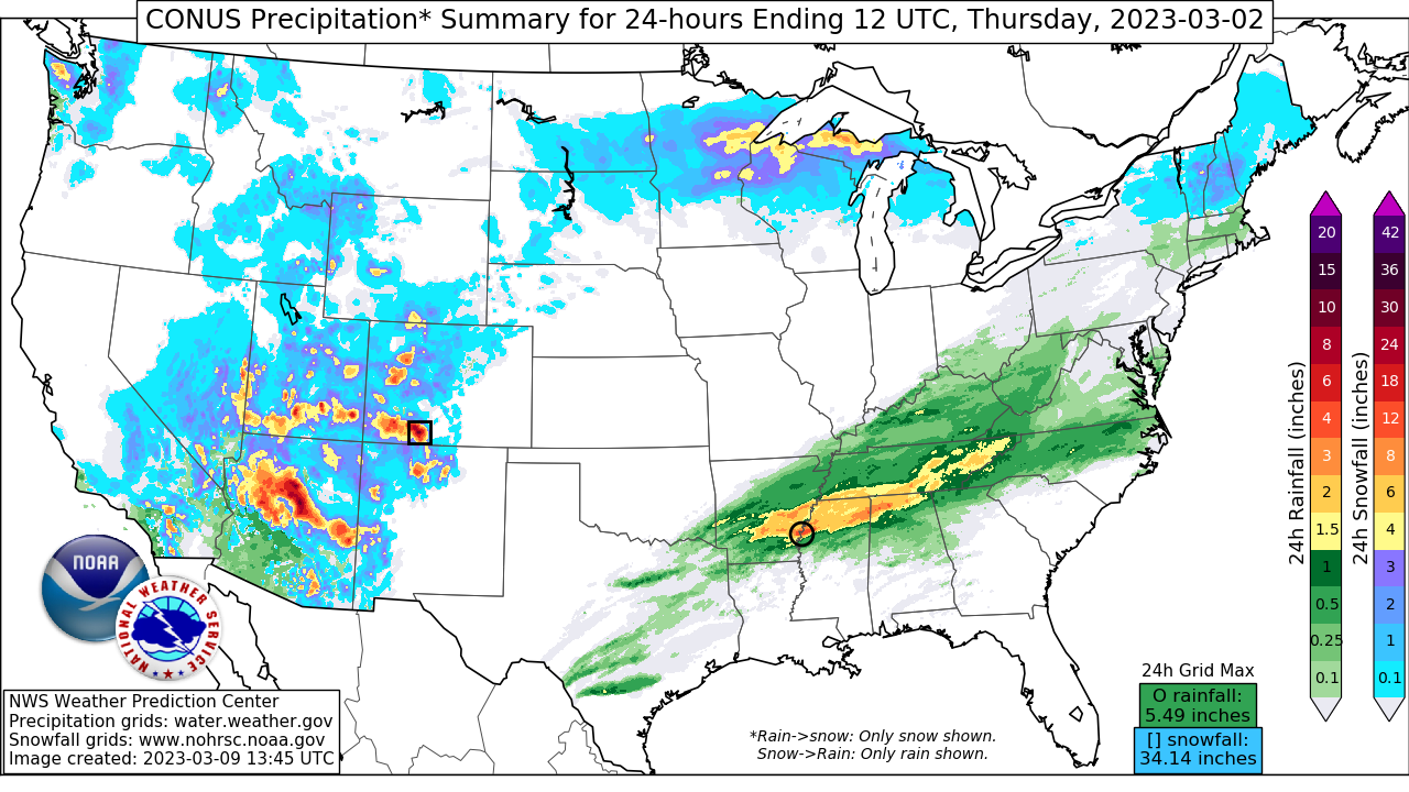
A strong winter storm affected the Upper Midwest into the Northeast and New England from March 3-4, 2023. While the storm system moved fast, it still resulted in heavy snowfall accumulations across Lower Michigan, northern New York and central New England. Strong winds, severe thunderstorms and heavy rain also occurred with the storm system across southern locations of the lower 48.
At 12Z on March 3, a powerful 500 mb shortwave trough with a slight negative tilt was located over the lower central and southern Plains and moving toward the northeast where confluent flow was positioned over the Great Lakes region. A deepening surface low was already present in the lower Mississippi Valley with a cold front extending southward and warm front extending eastward into Kentucky and Tennessee. As the surface low tracked northeast into Ohio by 00Z March 4, warm advection precipitation, driven by 50 to 70 kt southerly winds at 850 mb, allowed a west to east band of precipitation to advance northward through the Ohio Valley, north of the warm front. A wintry mix of sleet and freezing rain occurred across warmer locations as this band lifted north.
The surface low deepened 15 mb to 976 mb over a 12 hour period ending 21Z on March 3, coincident with an area of strong upper level divergence located within a coupled jet signature aloft. As the surface low continued to organize, an intense deformation band developed northwest of the surface low and tracked across Illinois, Indiana and southern Michigan. Surface temperatures across portions of the Midwest were initially too warm to support snow, but advection of colder air from the north and dynamic cooling supported a changeover to all snow from northern Illinois into Indiana. Heavy snow, including thundersnow, developed over southern Michigan by 21Z on March 3 with surface temperatures near freezing. Storm total snowfall accumulations of 6 to 12 inches occurred over southern Michigan, with the bulk of the accumulations occurring in a 6 to 9 hour window. This region experienced strong lift within the powerful deformation zone, aided by sloped, deep-layered frontogenesis and instability aloft, resulting in snowfall rates of 2 to 3 inches per hour during the height of the storm.
The 500 mb trough underwent deamplification as it raced toward New York after 00Z on March 4, but while the parent surface low weakened, a secondary low formed near the Mid-Atlantic coast along the warm front, becoming the dominant surface low by 12Z March 4. A warm advection driven band of moderate to heavy snow moved into the Northeast between 18Z March 3 and 00Z March 4. Snowfall accumulations of 6 to 18 inches resulted from eastern New York into Vermont, New Hampshire and southern Maine. Lift was aided by mid-level height falls ahead of the approaching trough, upper level diffluence and a coupled jet divergence maxima associated with the right-entrance region of a zonally oriented jet streak (approaching 200 kt) over New England and the left exit region of a jet max located south of the upper trough over the Upper Midwest. As the coastal surface low became dominant early on March 4, snowfall intensity decreased for inland locations while moderate to heavy snow affected coastal New England from near Boston, Massachusetts to Bar Harbor, Maine. The storm system quickly exited into the western Atlantic after 18Z on March 4, leaving behind gusty winds and lingering light snow showers.
Impacts:
Strong winds related to the sharp pressure gradient between the surface low and high pressure to its northeast affected locations from the Upper Midwest into New England. Wind gusts as high as 60 to 70 mph were reported from the Ohio Valley to coastal New England. The strong winds and heavy snow made for treacherous travel on area roadways and by air. Detroit’s Metropolitan Wayne County Airport was closed at one point late on March 3 due to the storm. Strong winds also produced lakeshore flooding downwind of Lake Erie. The winter storm system was also connected to a severe weather outbreak, which extended from Texas into the Ohio and Tennessee Valleys and contained tornadoes, damaging straight-line winds, large hail and areas of flooding. As a result of both the severe weather and winter weather impacts, power outages exceeding 1.5 million customers were reported from the Upper Midwest to the Deep South late in the day on March 3.
In addition, the intense low pressure center resulted in a number of all-time low pressure records at several airports in and around the lower Ohio Valley, some of which had been in place for over 100 years. On March 3 In Kentucky for example, Louisville International Airport observed a pressure of 28.85 inches of mercury; breaking the long-standing record of 28.93 inches of mercury set on February 28, 1902.